Yup, it’s been 10 years – a decade since Barack Obama was first elected President of the United States, promising an environmental programme of alternative-energy for that world super power; a decade since the polar bear was added to the list of ‘threatened’ species, becoming the first animal to do so due to the effects of global warming; a decade since we formed the Rameka carbon forest.

What a fitting time to celebrate with a little spruce-up for the project! Last year, Corina Ward suggested we provide visitors to the area with information on the history of Rameka and background to the project. It was a fantastic idea, and we leapt on it. Interpretation panels would give those visitors an opportunity to understand more about the area they were travelling through. And researching the information to go on those panels gave us a greater appreciation for this well-loved area.
Many thanks for their help in gathering information and photos go to: Cliff Turley, author of Rocks and Hard Places: The Takaka Hill; long-time Golden Bay resident Skeet Barnett; fourth-generation local farmer Dave Edmondson; the Golden Bay museum; interns Alex Delhagen and Orion Dick-Neal (who did the initial research); Paul Kennett (creator of the maps) Jonathan Kennett (for pulling the whole thing together and writing the narrative) and the many, many others who provided valuable feedback on multiple drafts.
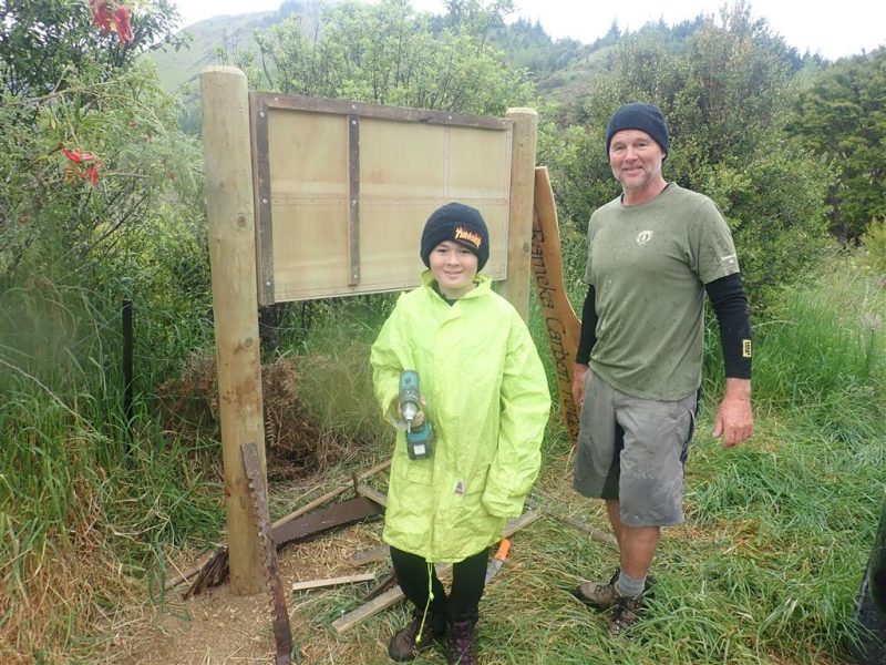
Come November this year, new interpretation boards were ready and waiting to go in at each entrance, and some new volunteers were keen to come across from the North Island to help put them in place.

Richard Green, his son Yoshi and friend Charlie Bowker had already prepared some really smart boards to go up at each of the hubs around the project – and had even dug the holes and installed the first one at the top site!

The other boards went up at: The Forks:

the mill site:

and the bottom of the historic Rameka track:

Each board comprises six panels. The top three are the same for all four boards and include a map, details about the surrounding tracks and information on the Rameka supporters. The three bottom panels are different on each board, providing details that range from the history of sheep farming and timber milling in the area to as much as we could find out about the original track formation in the late 1800s, old maps of the area and a timeline dating back to the 1860s.
So, next time you head through the project, give yourself time to pause and have a gander at the interpretation boards. I suspect you’ll be impressed.
In 2018, many of Barack Obama’s initiatives have been rescinded and the fate of the polar bear continues to teeter as the effects of climate change march on, but here at the Rameka Carbon Forest, thousands of trees have been planted, three primo tracks have been opened, the bird and native plant life is flourishing, and good things are on the up and up.
